

Iowa Braces For More Snow, Extreme Cold With Another Major Storm
For the second time this week, Iowa is preparing for a major winter storm. Like Tuesday's storm, this next one plans to bring with it plenty of snow but more blizzard-like conditions.

Following this next storm, Iowa and the rest of the Midwest will be hit with a cold snap that's so cold, it makes the name 'cold snap' sound like the title of a song in a Ms. Rachel episode.

We'll see snowfall totals get close to a foot again but the wind and extremely cold temperatures should be your main concern. Prepare yourself for another major winter storm. This is just make-goods for such a mild December.
Winter Storm Warning Issued For All Iowa Counties
The National Weather Service of the Quad Cities, Des Moines, and the other NWS offices that cover Iowa have issued a Winter Storm Warning for all 99 counties in the state of Iowa and many counties along the Mississippi River in Illinois.

The warning will go into effect starting at 9 p.m. on Thursday and last until 12 p.m. on Sat., Jan. 12, 2024. Expect to see heavy snow, mixed precipitation, and significant blowing
snow over the course of the next few days.
How Much Snow Will Iowa Get?
If depends on who you ask but the National Weather Service of the Quad Cities says total snow accumulations will be between 5-10 inches. Ice accumulations will around one tenth of an inch.

A lot of this snow is expected to impact northwestern Illinois, Wisconsin, and the Great Lakes, including Chicago.
When Will The Storm Arrive?
It will be here tonight. Snow will start to fall between 9 p.m. and midnight in the Quad Cities metro. The start and end time will differ if you're north or south of the I-80 corridor.

Officials want you to that travel impacts due to blowing snow are probable to last longer (possibly much longer) after the snow ends Friday night and early Saturday morning. The wind is going to be the reason why travel will be extremely difficult.
Blizzard-like Winds & Extreme Cold
During the storm on Friday night, we'll see wind gusts up to 50 mph in some areas leading to blizzard-like conditions.
As the air temperature drops and the wind speeds pick up, expect wind chills to get to the single digits Friday and well below 0° on Saturday.
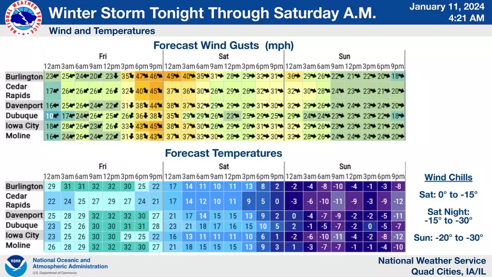
The extreme cold will kick in Saturday night and really impact the area Sunday, Monday, and Tuesday. Expect air temperature highs to barely get above 0° those days. This Arctic blast will be very dangerous to anyone caught out in it.

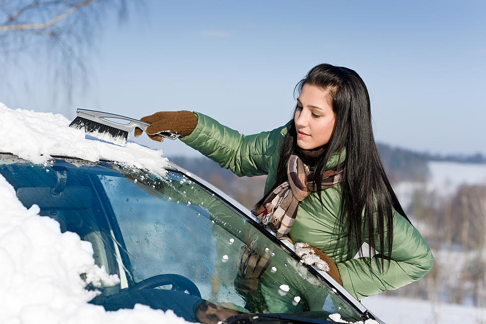
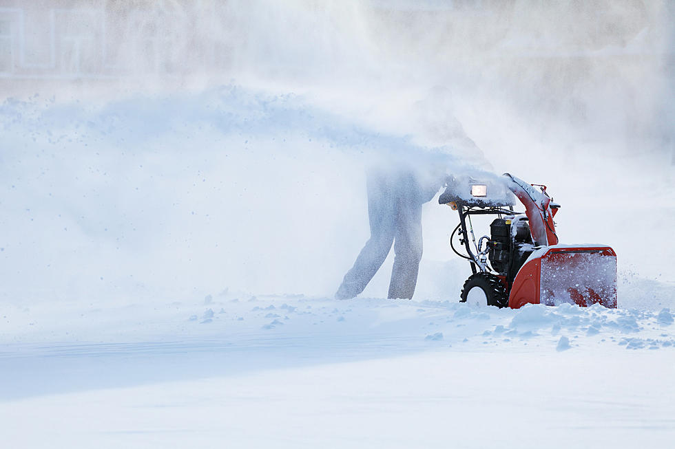
Make sure your home and vehicle is prepared before the snow and extreme cold arrives.
Essential Winter Emergency Kit Items
Gallery Credit: Connor Kenney/Townsquare Media Quad Cities
LOOK: Most common fast food chains in Iowa
Gallery Credit: Stacker
More From AM 950 KOEL


![Remembering the Times Iowa Got the Most… Snow… EVER! [GALLERY]](http://townsquare.media/site/672/files/2024/12/attachment-Untitled-design2.jpg?w=980&q=75)


