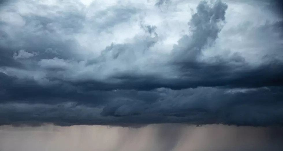
Storms Bring Heavy Rain, Tornadoes To Iowa

A storm system that moved across Iowa Sunday evening and early Monday morning produced at least two tornadoes, dropped some much-need rain and caused localized flooding.
The National Weather Service issued flood warnings for portions of Chickasaw and Floyd counties during the overnight hours after several inches of rain fell in a short period of time between Charles City and Nashua Sunday night. More than eight inches was reported during a three-hour period.
The heavy amounts of precipitation caused street flooding in Charles City. The National Weather Service received reports of deep water covering several roads and intersections, making some streets impassible. One of the roads partially closed was Business U.S. Highway 218 near the town's fire station.
The storm produced multiple funnel clouds across the state and a pair of tornadoes in western Iowa. Tornado warnings were issued Sunday night for Boone, Butler, Calhoun, Franklin, Pocahontas and Webster counties.
According to the National Weather Service, one tornado touched down between Fort Dodge and Harcourt Sunday around 11:30 PM. No damage or injuries were reported.
Another tornado Sunday was confirmed in Osceola County around 5 PM. Officials reported the twister struck a rural area near Ocheyedan, ripping the roof off a chicken barn. No one was injured.
Want to keep up to date with the latest in local and music news? Download our app! It's completely free and not only will you be the first to know about breaking news, but we'll also keep you updated on concerts and other events coming to the area. You'll also have exclusive opportunities to win tickets. What are you waiting for? Get the free app today.
KEEP READING: Get answers to 51 of the most frequently asked weather questions...
Small Town Iowa: World's Smallest Church-Ft. Atkinson
Gallery Credit: Shawn McKenna
More From AM 950 KOEL

![Hey Iowa Come On, It’s Time to Raise our Interstate Speed Limits [OPINION]](http://townsquare.media/site/676/files/2021/06/attachment-Untitled-design2.jpg?w=980&q=75)


