
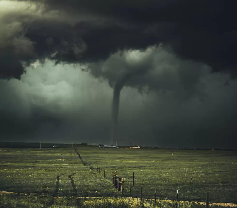
Eastern Iowa Under Hail, Damaging Winds, Flooding Threat Thursday Night
Almost half of the state of Iowa is mired in either a moderate or severe drought, with approximately 80 percent of Iowa now at least abnormally dry. We need rain and it appears some could be coming as we near the weekend. Unfortunately, that rain could come at a cost. Severe weather.
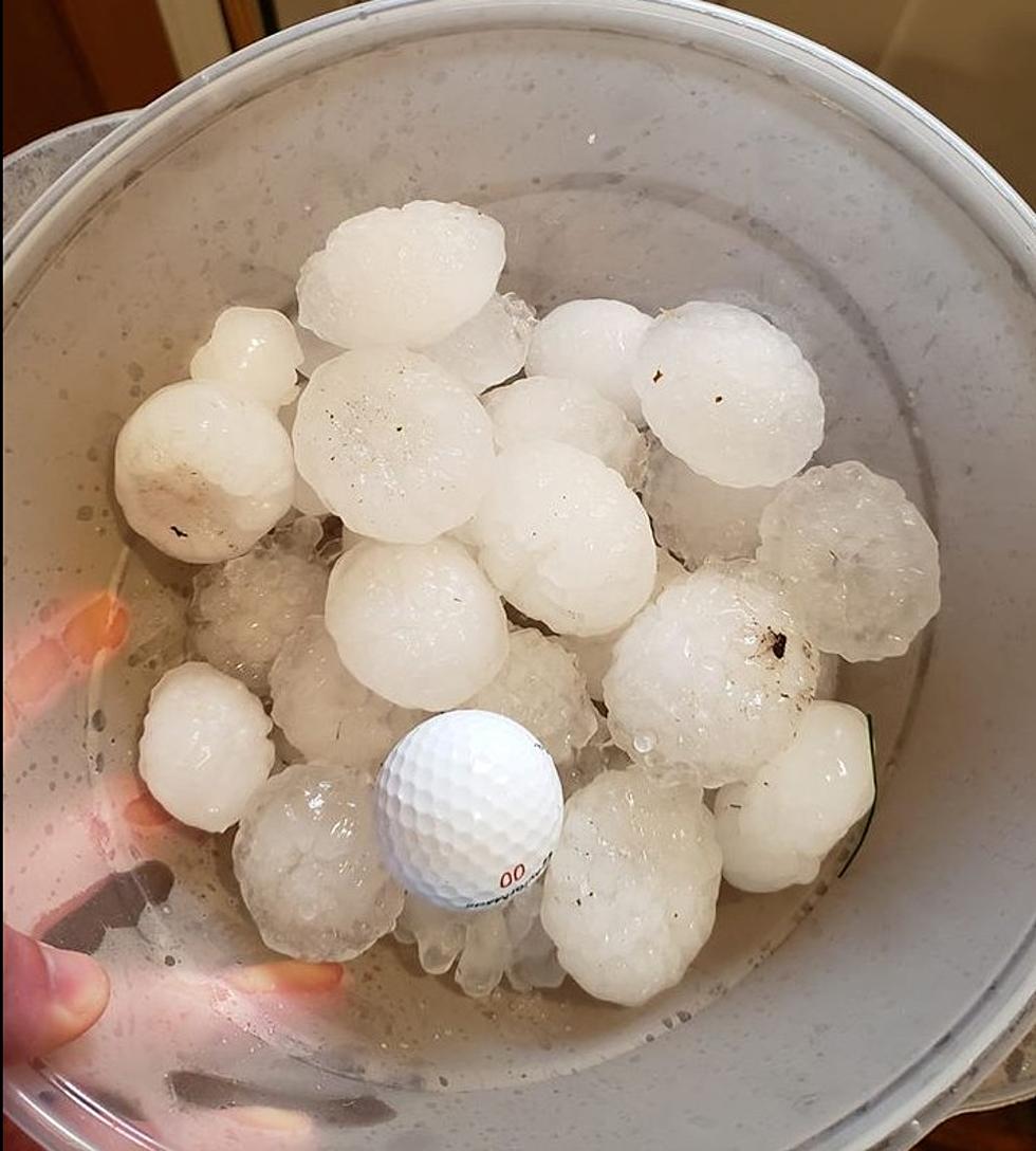
The photo at the top is from April 7, 2020. Large hail was common around the Cedar Rapids area that evening. It was just the first of two weather events in eastern Iowa that did damage in 2020. I don't need to remind you what the other one was, or the scope of the damage that it caused.

The National Weather Service (NWS) in the Quad Cities has the Cedar Rapids/Iowa City corridor and a large part of eastern Iowa under the threat of damaging winds, large hail, and localized flooding from approximately 6 p.m. Thursday night through just after midnight Friday morning.
The NWS says temperatures in the Cedar Rapids area will climb into the mid-90s Thursday afternoon, accompanied by increasing humidity levels that will likely put heat indices near, or slightly above, 100 degrees. That will provide plenty of moisture for the thunderstorm complex to work with.

According to the National Weather Service, the "most favorable area for severe weather will be north of a line from Fairfield, Iowa to Burlington, Iowa to Roseville, Illinois. Very heavy rain is also possible with these storms and may result in localized flooding." The NWS forecast for Cedar Rapids for Thursday night says 1 to 2 inches of rain are possible.
Thankfully this heatwave, the beginning of which could bring severe weather, will be short-lived. Beginning on Monday, high temperatures are expected to be in the 70s. After this Sunday, the Weather Channel isn't expecting temperatures in Cedar Rapids to reach 85 through at least the end of June.
LOOK: The most expensive weather and climate disasters in recent decades
Gallery Credit: KATELYN LEBOFF
KEEP READING: Get answers to 51 of the most frequently asked weather questions...
More From AM 950 KOEL


![National Weather Service Confirms 26 Iowa Tornadoes on Wednesday [PHOTOS/VIDEO]](http://townsquare.media/site/675/files/2021/07/attachment-Iowa-tornado-%252540clarencewlsmith-Twitter.jpg?w=980&q=75)


![Storms Damage Trees, Cause Power Outage In Waterloo [PHOTOS]](http://townsquare.media/site/725/files/2020/06/Waterloo-Storm-Damage_4-060420.jpg?w=980&q=75)