How Often Do Derechos Hit The State of Iowa?
As warmer weather sets in, and strong storms begin to make their way back in to Iowa, many residents are still worried. They're worried about another derecho hitting our state, just like last August 10th. It hasn't even been a year yet, and many of us are wondering, could it happen again?
CBS2 reports that a recent AccuWeather forecast for Iowa said that the state was at a high risk for severe weather this summer. It even went on to say that they were concerned about the possibility of derechos. Not a word to be tossed around lightly around these parts. However, CBS2 points out that not all derechos are created equal!
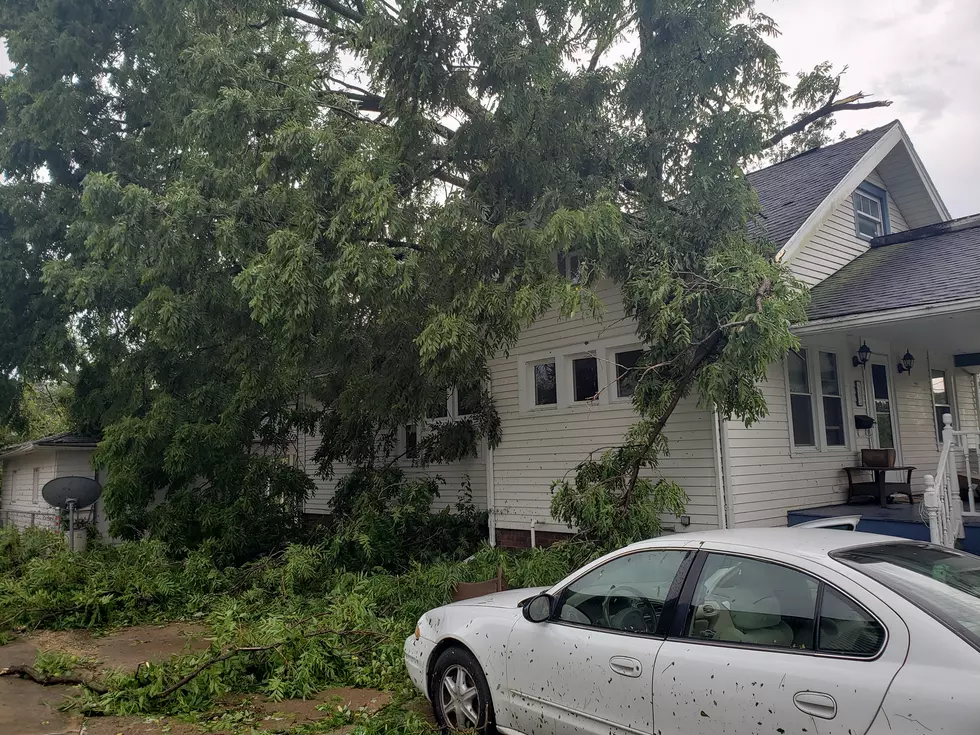
The Storm Prediction Center defines a derecho as a "long duration, widespread wind storm associated with thunderstorms traveling more than 250 miles, with gusts of at least 58 mph and occasional significant gust of at least 75 mph." Those are the bare minimum requirements for a derecho in the U.S. Storms like that happen around our country every year. In Iowa, they happen every year or two, on average. CBS2 reports that the August 10th derecho exceeded even the extremes for such storms. It traveled 770 miles, and had a peak wind gust of 140 mph in Cedar Rapids.

The derecho that hit Iowa last August was not a normal storm. It was a generational weather event. It is highly unlikely we'll see a storm like that again in our lifetimes. The biggest problem with derechos, according to CBS2, is forecasting them. Weather patterns may suggest conditions that are favorable for a derecho, but it might not ever develop. Predicting one can only really happen around 24 hours out.
The bottom line is that families need to have a severe weather safety plan in place. Whether it is for a derecho, tornado, flood, or any other potential weather disaster. Planning ahead is all we can really do.
PHOTOS: Massive 2020 Storm Causes Widespread Damage in Cedar Rapids
More From AM 950 KOEL


