A man in Des Moines was seen shoveling his driveway after the storm...pretty normal, right? Well, someone snapped a photo of him digging out the road, but he was missing something.
Iowa has been blanketed by a thick layer of fresh snow. The southwestern corner leads the way with around 14" of snow. The Waterloo-area has reported around 6-7" so far.
You can send your snow measurements to the National Weather Service in Des Moines HERE...
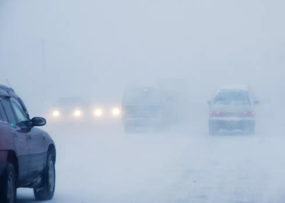
A major winter storm is set to hit Iowa Monday into Monday night. This storm will feature the potential for a lot of snow, and combined with gusty winds and blowing this, the storm will make travel very difficult at times.
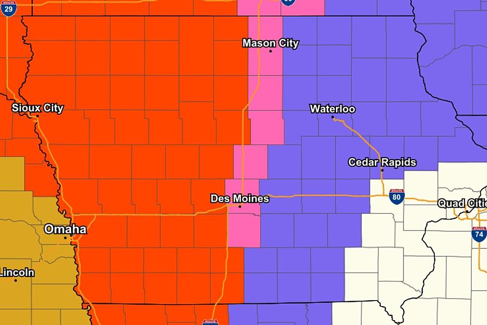
AS OF 6 AM 1/24: The National Weather Service in Des Moines forecasts that southern Iowa can expect 8-12" of snow, while areas North of I-80 are less certain at this point.
Get your shovels ready, another round of snow is headin' towards the Hawkeye State.
The National Weather Service in Des Moines says:
Snow will begin to overspread large portions of the state by Saturday afternoon and continue through the overnight hours...
The western half of the state is in a BLIZZARD WARNING.
The areas included in the Blizzard Warning can expect a total of 4-10" of snow and winds gusting as high as 50 MPH.
The Blizzard Warning will go into effect at 6 PM Thursday through 6 PM Friday...
First of all, WHAT IS A SNOW SQUALL?
According to the National Weather Service:
A snow squall typically lasts less than an hour. The sudden white-out conditions combined with falling temperatures produce icy roads in just a few minutes. The combination of gusty winds, falling temperatures and quick reductions in visibility can cause extremely dangerous road conditions...
I'm not sure where this was filmed, but it has buildup, suspense, action ---- and a TON of snow, literally.
I'd love to see the look on the snowplow driver's face when he pulls into this parking lot.
***The action starts at :54.