

Where is the Highest Point in the Entire State of Minnesota?

There is some spectacular natural scenery across our entire state, but just where is the highest point in the state of Minnesota?
Minnesota has long been known as 'the Land of 10,000 Lakes,' right? It's right there on our license plates, even though it's not correct. There are actually 11,842 lakes in our fine state according to the Minnesota Department of Natural Resources, though 'Land of 11,842 Lakes' apparently isn't as catchy.
Minnesota is also home to some impressively rugged cliffs and rock formations along the North Shore of Lake Superior and along the Mississippi River. But just which point is the highest in the North Star State? Well, it *is* a mountain, but it's not much of one, at least according to other more mountainous states like Colorado, Montana or Wyoming.
That's because Minnesota is a relatively flat state. While we may have a lot of lakes, we're a little short when it comes to tall mountain ranges. In fact, the Gopher State is actually the fourth-flattest state in the US, with only North Dakota, Illinois, and Florida being flatter, the University of Illinois notes.
ALSO INTERESTING: Outside of Superior, What's the Deepest Lake in MN?
The U.S. Forest Service says Minnesota's highest point comes in at 2,301 feet above sea level. And while that might seem like a pretty good elevation if you're hiking, it's not all that impressive compared to Mount Elbert, the highest point in the Rocky Mountain state of Colorado, which stands a whopping 14,433 feet.
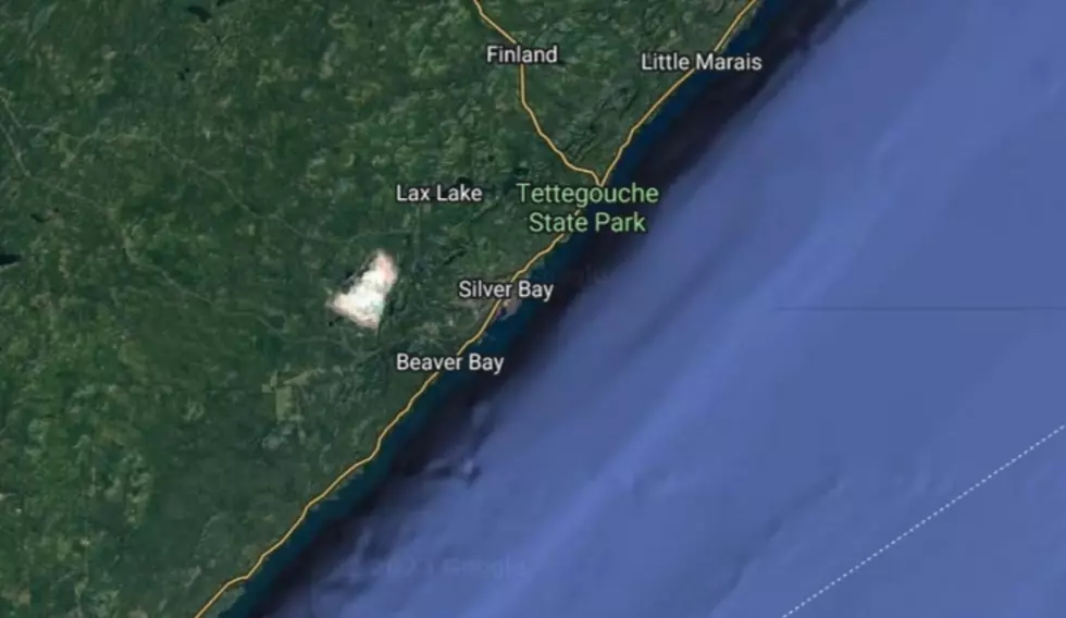
So just where IS the highest point in the Bold North? That honor goes to Minnesota's own Eagle Mountain, which is located in the Pat Bayle State Forest along the North Shore, about 20 miles north of Grand Marais.

If you're looking to check it out, however, be prepared: you can only get there by hiking the Eagle Mountain Trail, as the U.S. Forest Service notes:
Eagle Mountain Trail is a 3 1/2 mile hike to the top of Eagle Mountain. It is not a loop trail, and the round trip to the summit is 7 miles with a considerable climb. A good portion of this trail is within the Boundary Waters Canoe Area Wilderness, so the trail is maintained as a wilderness trail. This means that it is narrow with uneven footing caused by rocks and roots in the trail. Uphill segments do not have stairs. It is not cleared as frequently as a non-wilderness trail, and portions may be overgrown.
Interestingly enough, if you're adventurous enough to make it to the top of Eagle Mountain, you can also see the LOWEST point in Minnesota, as well: the shore of Lake Superior, which, as hiking site BWCA Wild notes, is usually around 602 feet depending on water levels in the big lake.
Listen to Curt St. John and Samm Adams in the Morning
weekdays from 6 to 10 a.m. on Quick Country 96.5
10 Facts You Probably Didn't Know About Minnesota
More From AM 950 KOEL


![Top 13 “Fall” Things To Do In The Cedar Valley/NE Iowa [Photos/List]](http://townsquare.media/site/725/files/2020/09/RS11976_185050907-scr.jpg?w=980&q=75)

