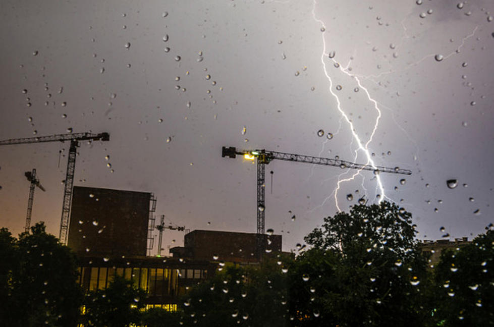
Iowa Weekly Weather Update, August 27, 2017
It was an unseasonably cool and wet week across most of Iowa. The reporting week began with temperatures slightly above normal on Sunday and Monday. However, below normal temperatures prevailed for the remainder of the week across most of the state. Tuesday and Wednesday were the coolest days when afternoon highs were only in the seventies.
Temperature extremes for the week ranged from a Sunday afternoon high of 89 degrees at Boone to a Wednesday morning low of 44 degrees at Stanley in Buchanan County. Temperatures for the week as a whole averaged 2.6 degrees below normal.
Light rain was scattered across central and eastern Iowa on Sunday morning. Rain fell statewide on Monday, interfering with viewing of the solar eclipse but providing very welcome moisture in drought areas. Heaviest rains fell across the western one-third of Iowa where flash flooding occurred in some areas early on Monday.
Rain, mostly light, fell over parts of northwest and central Iowa on Thursday morning. Rain fell across much of the northwestern two-thirds of Iowa on Thursday night. Locally heavy rain fell over far northwestern Iowa on Friday night. Finally, light rain was scattered over the northeast one-third of the state on Saturday into Sunday morning.
Rain totals for the week varied from only 0.05 inches at Guttenberg to 7.37 inches at Denison. The statewide average rainfall amount was 1.78 inches or about double the weekly normal of 0.91 inches. This was the highest statewide average rain total in 12 weeks (mid-May). However, rain totals were below normal for the past week across most of northeast and east central Iowa. This portion of the state, which had been rather wet in the early and mid-summer, has turned quite dry over the past month.
By Harry Hillaker, State Climatologist, Iowa Department of Agriculture & Land Stewardship
More From AM 950 KOEL


![See Inside Johnny Cash’s Spectacular Real Estate Holdings [Pictures]](http://townsquare.media/site/204/files/2024/04/attachment-johnny-cash-real-estate.jpg?w=980&q=75)


