elevation

Where is the Highest Point in Black Hawk County?
The highest point in the United States is Mt. McKinley, Alaska, at 20,237 feet above sea level. The highest point in Iowa is on Sterler Farm, north of Sibley, in Osceola County, and is 1,670 feet above sea level. This point was officially named Hawkeye Point in 1998...
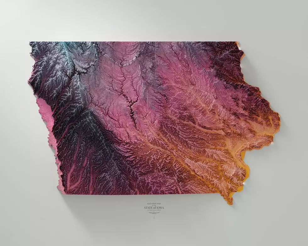
Digitally Rendered Vintage Maps of Iowa
4DMAPART, based out of New York City, has some beautifully designed maps of the world. The maps feature elevation, river beds, national parks, and even the moon and Mars! Locally, 4DMAPART has 10 uniquely tinted maps of Iowa ---- with over 1,000 maps in total...