Weekly Iowa Weather Summary, August 19, 2018
The week ending August 19th started off warm and dry with average daytime highs up to six degrees above normal on Monday. DeSoto (Harrison County) observed a high of 94 degrees, almost 10 degrees warmer than average.
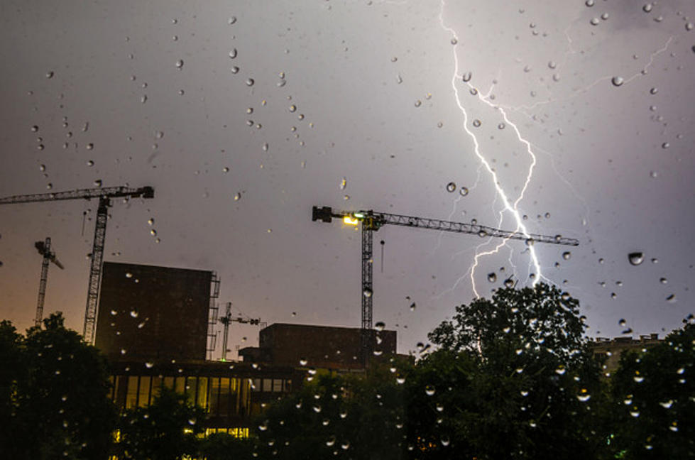
A low pressure system spinning over eastern Kansas brought rainfall to Iowa’s southern half on Tuesday, with Des Moines (Polk County) recording 0.51 inches. A few stations from Lamoni (Decatur County) to Marshalltown (Marshall County) also recorded accumulating rain. Thundershowers lingered into Wednesday with isolated thunderstorms reforming in the afternoon across much of the state. Fifteen stations observed rainfall over 1 inch, with Red Oak (Montgomery County) reporting 2.49 inches. These storms dissipated by nightfall. Temperatures were above average during this period, with lower 90s in southern Iowa and upper 80s over the rest of the state.
Another convective system moved through on Thursday bringing thunderstorms to a significant portion of Iowa, especially north and east. Davenport (Scott County) observed 2.49 inches. With rainy conditions, temperatures ranged from near-normal to slightly warmer than average; highs were in the mid-80s in the southeast and lower 80s across the rest of Iowa. A high pressure system brought nice weather on Friday and Saturday, with lingering thundershowers in eastern Iowa on Friday. After a dry Saturday, a large low pressure system moved into southwestern Iowa on Sunday.
As the low slowly moved north, significant accumulations were reported in Harrison, Shelby and Audubon counties. Much of Iowa recorded measurable rainfall with minor accumulation in the southeast quadrant, though weekly rainfall was below average across Iowa’s eastern two-thirds. Weekend temperatures were seasonal across the western third and slightly warmer than average over the rest of Iowa, with highs ranging from the upper 70s in the northwest to upper 80s in the south.
Source: Dr. Justin Glisan, State Climatologist, Iowa Department of Agriculture and Land Stewardship
More From AM 950 KOEL